Key info
Duration: 9 hours
Total Distance: 24.5km (15.2 miles)
Grade: Intermediate to Advanced
Minimum number of persons: 1
Inclusions: Bike, helmet, repair kit, map, return water transport and QCTLC private land access pass.
Including bike, helmet, repair kit, map, return water transport and QCTLC private land access pass.
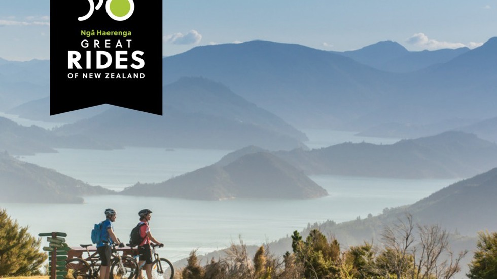
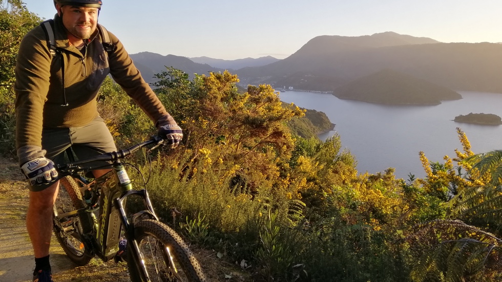
This ride offers the best ridgeline views along the Queen Charlotte Track. It is challenging with a number of short steep hill climbs but the track is wide and not technically demanding. Water taxi from Picton to Torea Bay and return by boat from Camp Bay after an exhilarating ride – one of the best!
Duration: 9 hours
Total Distance: 24.5km (15.2 miles)
Grade: Intermediate to Advanced
Minimum number of persons: 1
Inclusions: Bike, helmet, repair kit, map, return water transport and QCTLC private land access pass.
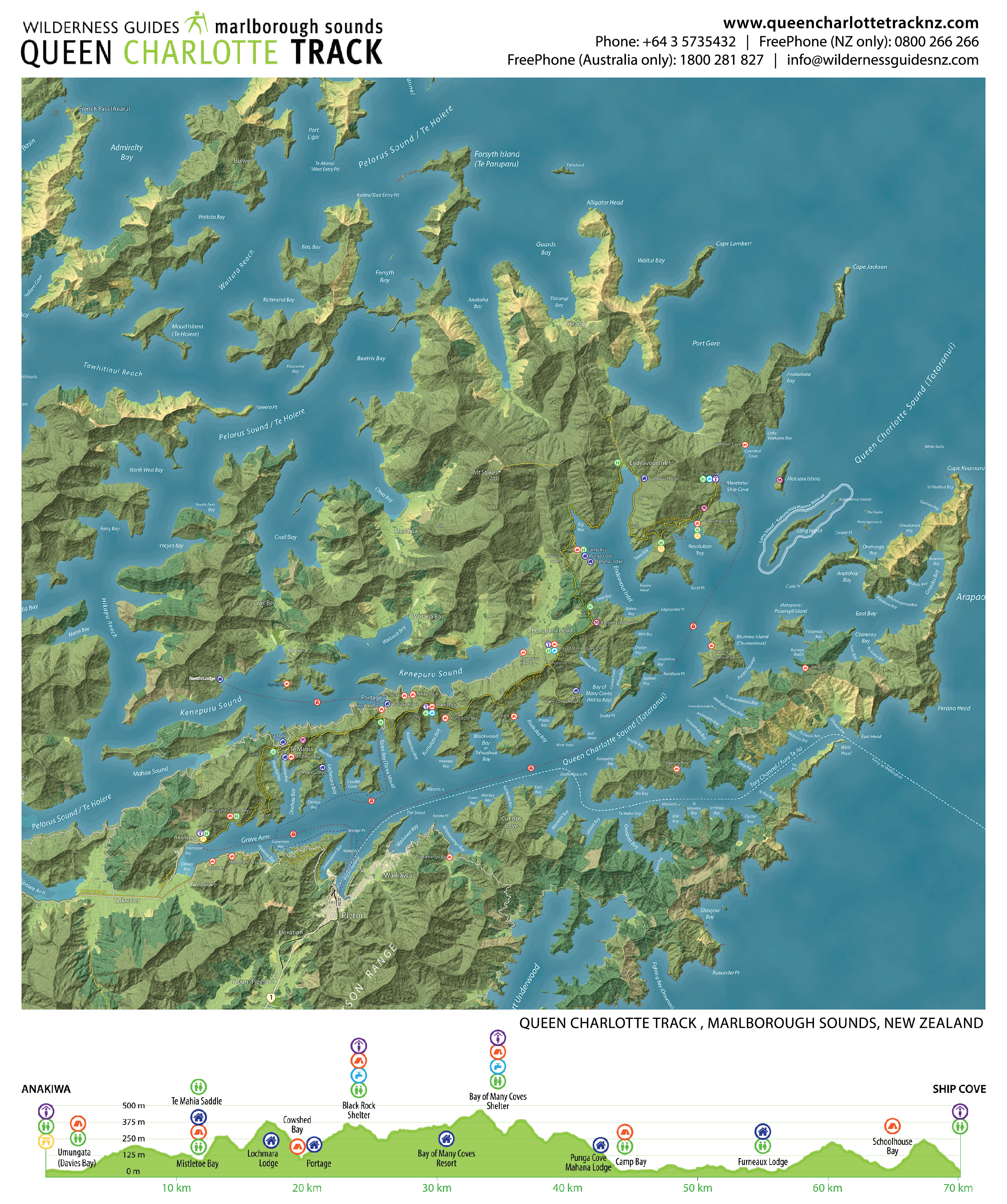
Depart on either the 8am (summer only) or 9am water taxi service to Torea Bay. We recommend riding the Queen Charlotte Track in reverse today to give you ample time to enjoy a cold beverage at Punga Cove!
From Torea Bay, ride up a short road section of sealed road to join the main Queen Charlotte Track. The going is steady uphill to the Black Rock Shelter though beautiful native Beech forest, where you can enjoy views back to Picton. From this point you will be alternating between the Queen Charlotte Sound and Kenepuru Sound sides of this section of ridgeline - with stunning views across both.
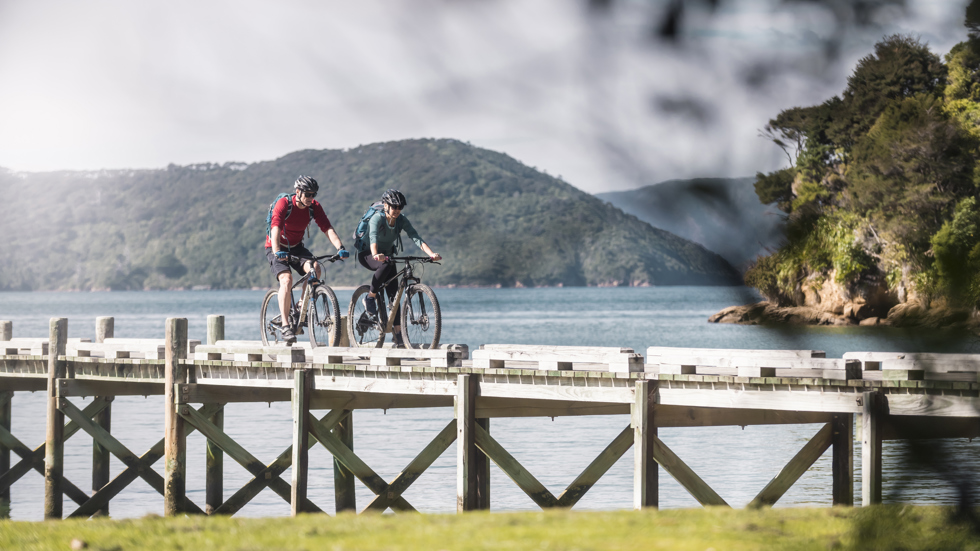
The track is wide but steep in places so watch for drop offs and rocky areas. There is a lot of undulation with many short steep gradients to challenge you. The Bay of Many Coves shelter is a welcome sight to take a break before the final hills and then descent into Punga Cove and Camp Bay.
Your water taxi pick-up is 3:30pm at Punga Cove so there is time to toast a fantastic day while you wait. Return to Picton by 5:00pm/5:30pm.
This section is available to mountain bike throughout the year.
Distance | Approximate Times |
24.5km | 4 hours |
0% Novice (Grade 2) - Suitable for a confident rider on roads or trails. Easier gradients, trail surfaces are mainly firm but may include muddy or loose rocks.
62% Intermediate (Grade 3) - Suitable for most experience cyclists with a good level of fitness. Trail surfaces are mainly firm but may include muddy or loose sections, and obstacles such as rocks or tree roots.
28% Advanced (Grade 4) - Suitable for fit, more experienced cyclists with good off-road and/or on-road skills. The trail surface includes firm and loose sections, with lots of rocks and tree roots.
10% Expert (Grade 5) - Suitable for experienced cyclists with excellent off-road skills and a high level of fitness. Challenging with long, steep climbs, precipitous descents and potentially dangerous drop-offs, as well as rocks, roots, and ruts to navigate.
Our team live, work and play in this fantastic region - your guides are local people. Call us on +64 3 5735432. Freephone (NZ only): 0800 266 266. Freephone (Aus only): 1800 281 827